


Price: $43.00+
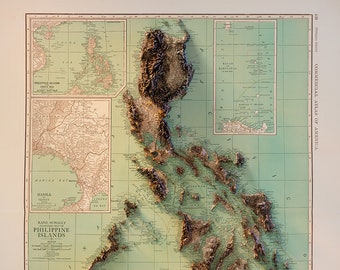
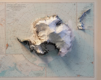
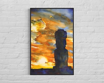
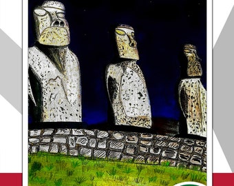
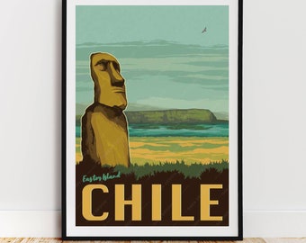
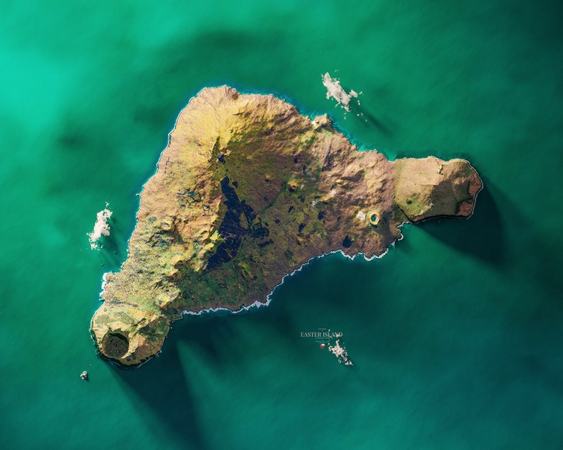
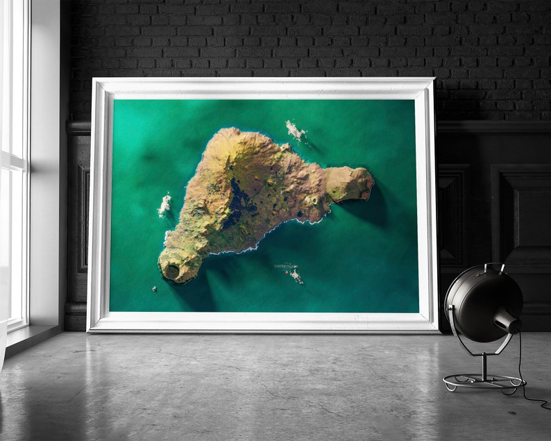
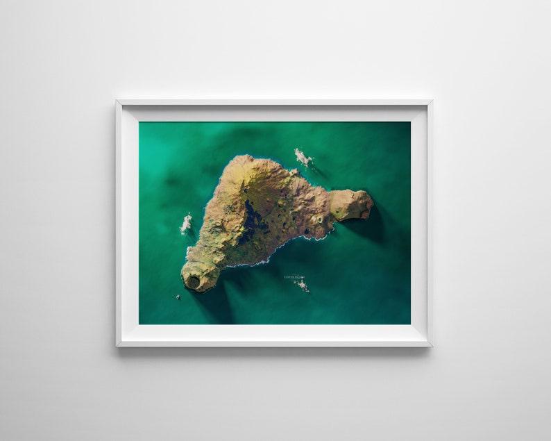
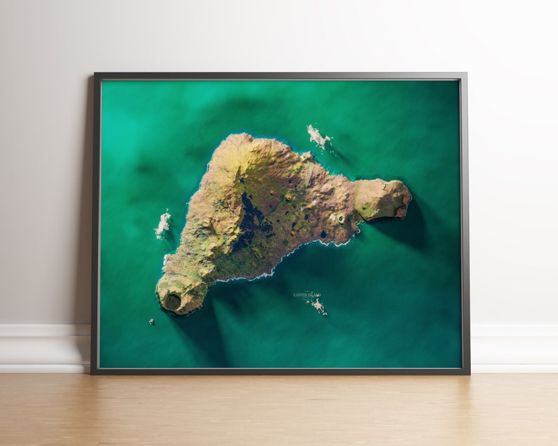
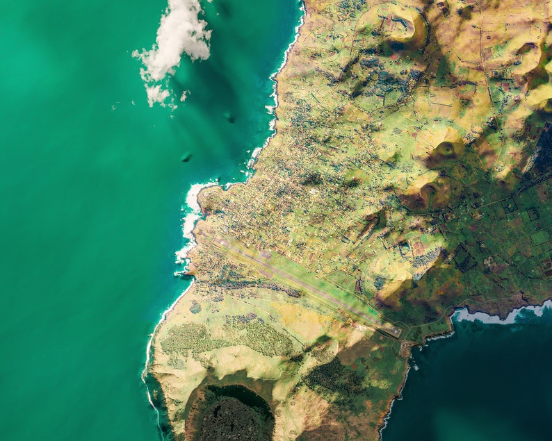
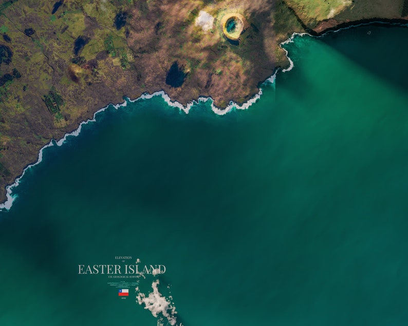
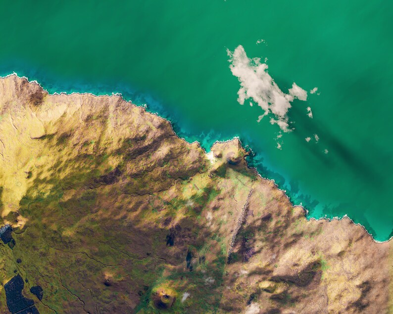
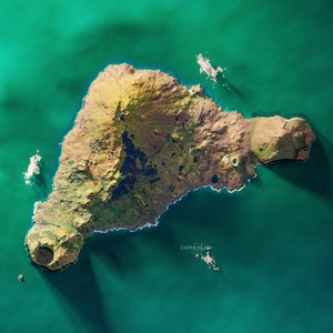
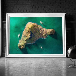
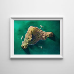
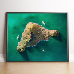
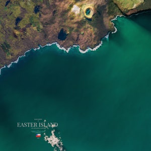
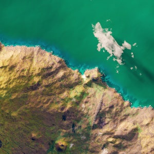
Easter Island - Chile
You can only make an offer when buying a single item
-
Order today to get by May 4-22
Your order should arrive by this date if you buy today. To calculate an estimated delivery date you can count on, we look at things like the carrier's latest transit times, the seller's processing time and shipping history, and where the order is shipping to and from.
-
Returns & exchanges not accepted
But please contact me if you have problems with your order
-
Free shipping
There was a problem calculating your shipping. Please try again.
Etsy Purchase Protection
Shop confidently on Etsy knowing if something goes wrong with an order, we'll make it right for all eligible purchases —
see program terms

Other reviews from this shop
|
(737)
10/10 was high quality and looks great
Purchased item:
Oahu - HawaiiSign in with Apple user Apr 26, 2024
Wonderfully printed and great customer service.
Purchased item:
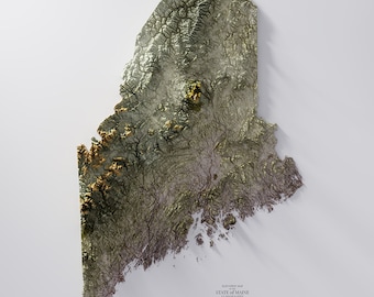
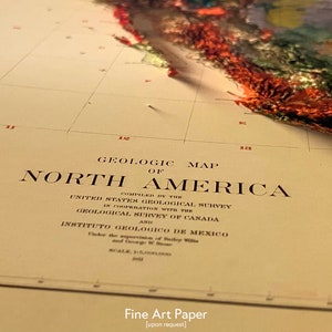
Pennsylvania - Geology
Terry David Church Apr 22, 2024
Excellent quality, very high resolution—exactly as shown on the website!
Purchased item:
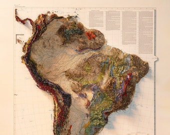
Indian Subcontinent - Hypsometric tint 5Aliya Dewey Apr 18, 2024
I am so stoked with the result and communication!
Purchased item:
Grand Canyon National Park - Arizonapshearn Apr 9, 2024
Photos from reviews