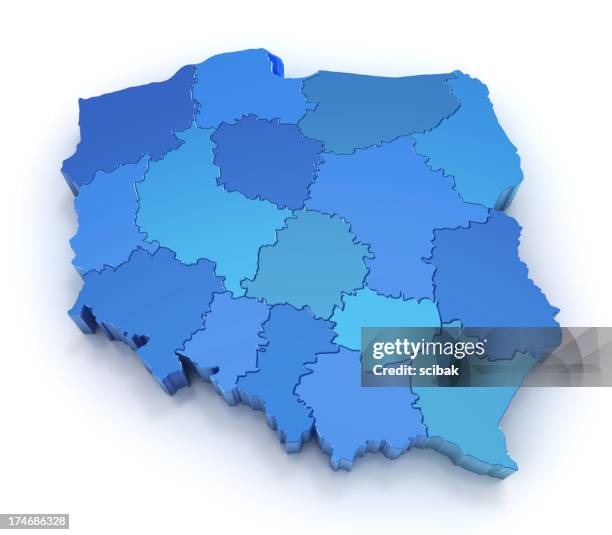
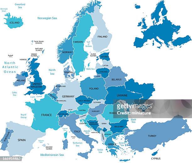
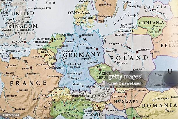
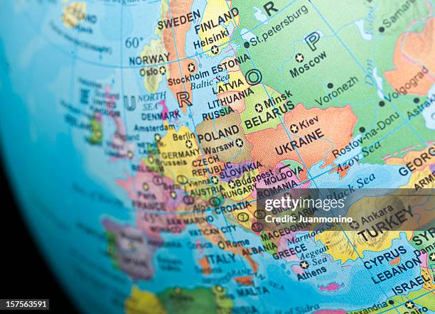
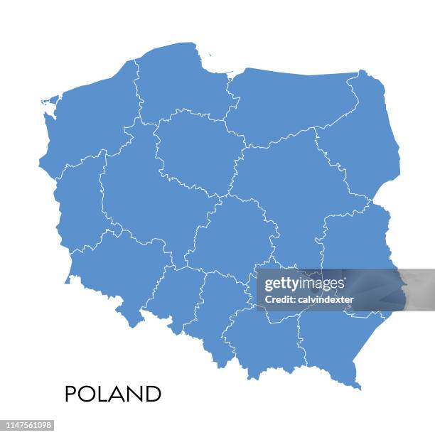
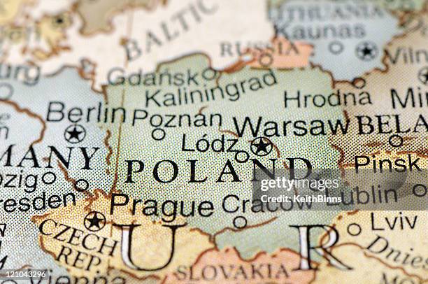
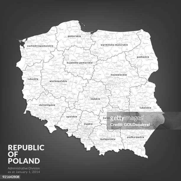
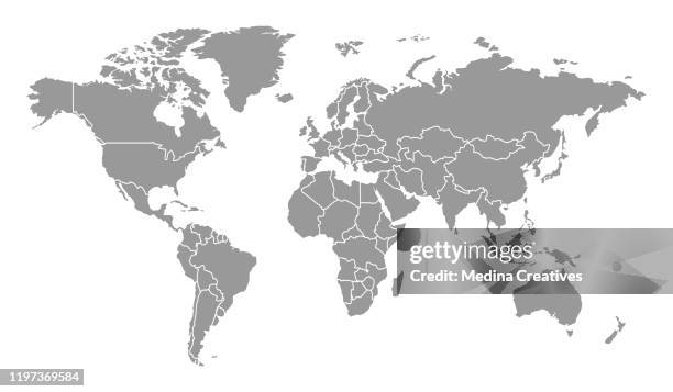
high detailed polish administrative map with with voivodships and powiats - vector illustration - poland map stock illustrations
warsaw poland 3d render map blue top view sep 2019 - poland map stock pictures, royalty-free photos & images
old chromolithograph map of wrocław, southwestern poland and the largest city in the historical region of silesia - poland map stock pictures, royalty-free photos & images
Map of Poland showing the countries newly annexed by Russia and Prussia during the Second Partition, 1793. Engraving by Barlow.
engraved antique, europe in the time of charlemagne engraving antique illustration, published 1851 - poland map stock illustrations
map of europe. vector blue illustration with countries and national geographical borders - poland map stock illustrations