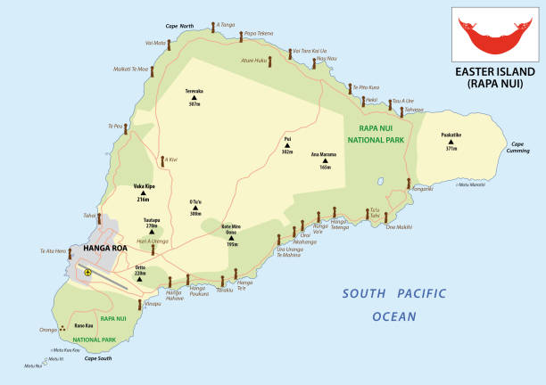
Easter Island Map Pictures, Images and Stock Photos
Browse 240+ easter island map stock photos and images available, or search for world map to find more great stock photos and pictures.
Most popular
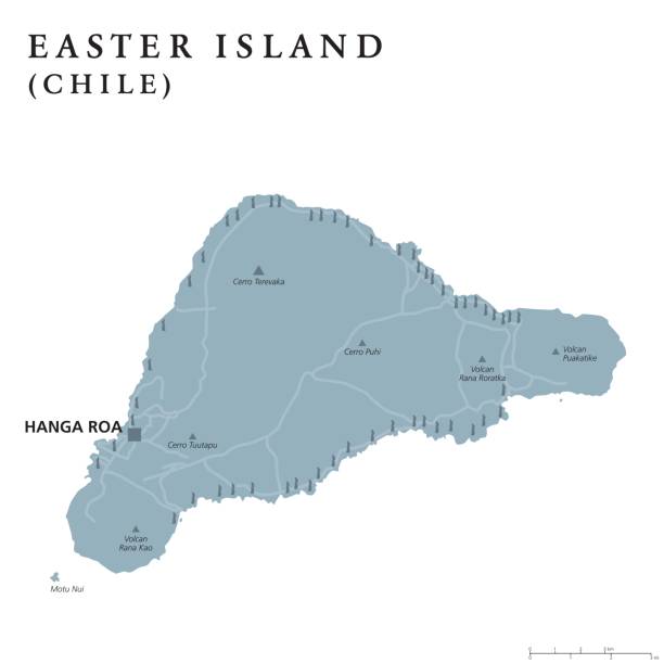
Easter Island political map with capital Hanga Roa, streets and monumental Moai statues. Chilean island in southeastern Pacific Ocean. Gray illustration on white background. English labeling. Vector.
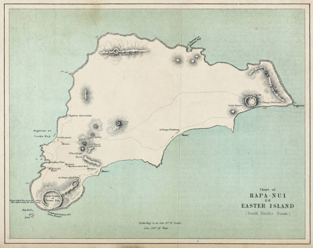
19th century map of Rapa Nui (Easter Island).
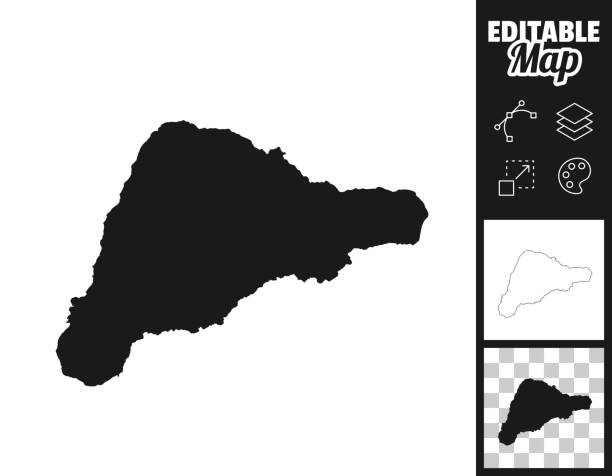
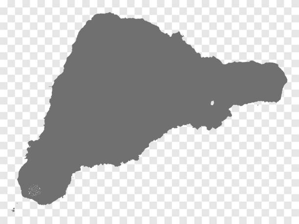
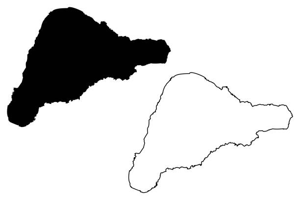
Map of Easter Island for your own design. Three maps with editable stroke included in the bundle: - One black map on a white background. - One line map with only a thin black outline in a line art style (you can adjust the stroke weight as you want). - One map on a blank transparent background (for change background or texture). The layers are named to facilitate your customization. Vector Illustration (EPS file, well layered and grouped). Easy to edit, manipulate, resize or colorize. Vector and Jpeg file of different sizes.
Rapa Nui island map vector illustration, scribble sketch Easter Island
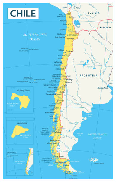
Map of Chile - Highly Detailed Vector illustration
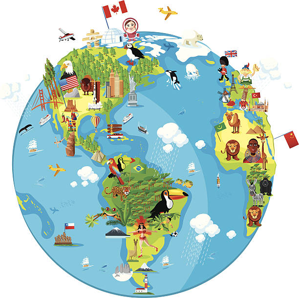
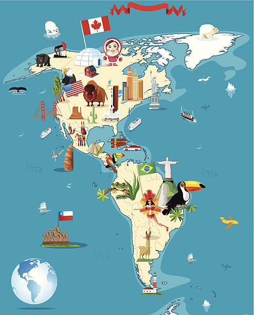
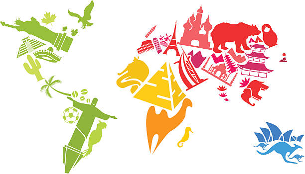
Cartoon of World (America)
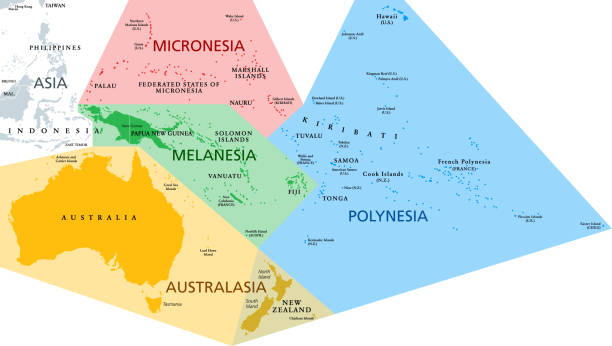
Regions of Oceania, political map. Colored geographic regions, southeast of the Asia-Pacific region including Australasia, Melanesia, Micronesia and Polynesia. English. Illustration over white. Vector
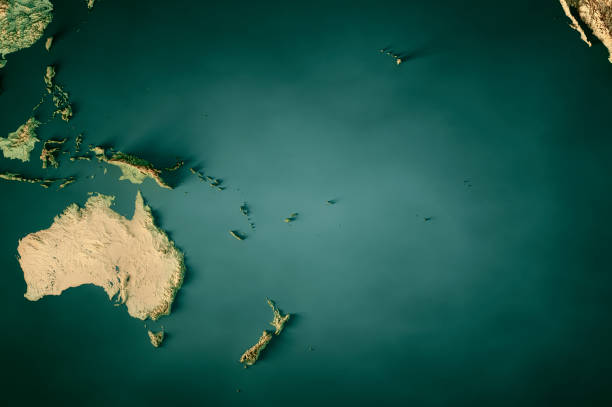
3D Render of a Topographic Map of Oceania and Australia. All source data is in the public domain. Color texture: Made with Natural Earth. http://www.naturalearthdata.com/downloads/10m-raster-data/10m-cross-blend-hypso/ Water texture: SRTM Water Body SWDB: https://dds.cr.usgs.gov/srtm/version2_1/SWBD/ Relief texture: GMTED 2010 data courtesy of USGS. URL of source image: https://topotools.cr.usgs.gov/gmted_viewer/viewer.htm
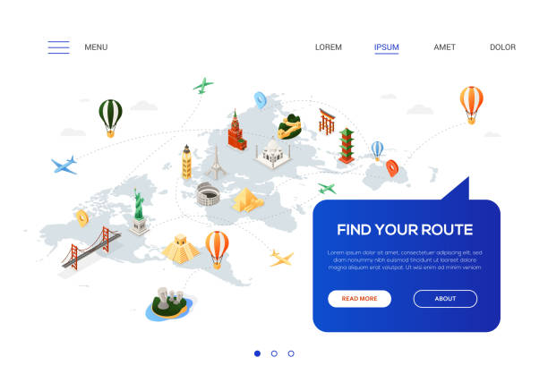
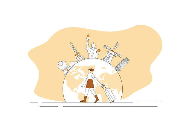
Find your route - colorful isometric web banner with copy space for text. Website header with world famous landmarks, Statue of Liberty, Torii, pyramids, Eiffel tower, Colosseum, Brooklyn bridge, moai
Travel Landmark Icons - Thin Line Vector illustration
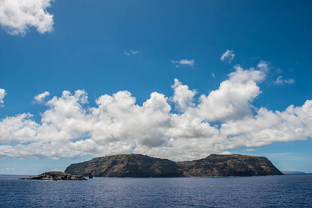
Landscape of easter island
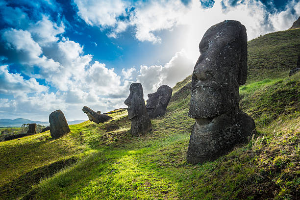
Moai statues at Rano Raraku, Easter Island
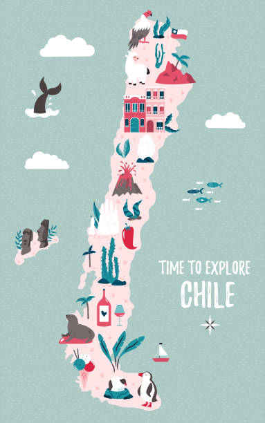
Chile hand drawn vector map with famous symbols, landmarks of the country and Easter island. Design, banner for travel guides, prints, souvenirs
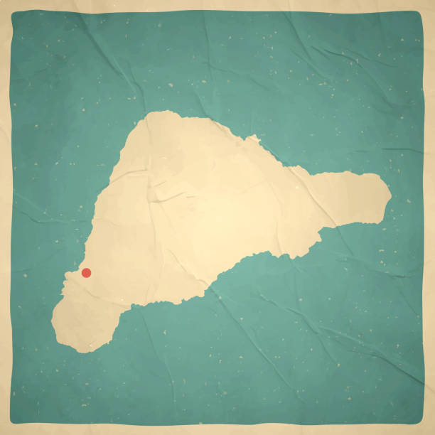
Map of Easter Island in a trendy vintage style. Beautiful retro illustration with old textured paper (colors used: blue, green, beige and red). Vector Illustration (EPS10, well layered and grouped). Easy to edit, manipulate, resize or colorize. Vector and Jpeg file of different sizes.
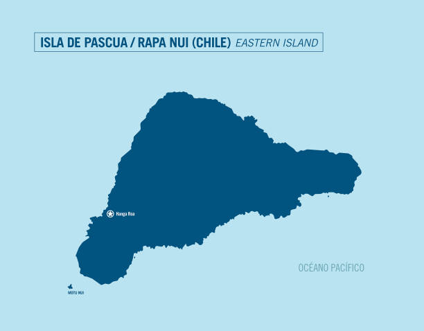
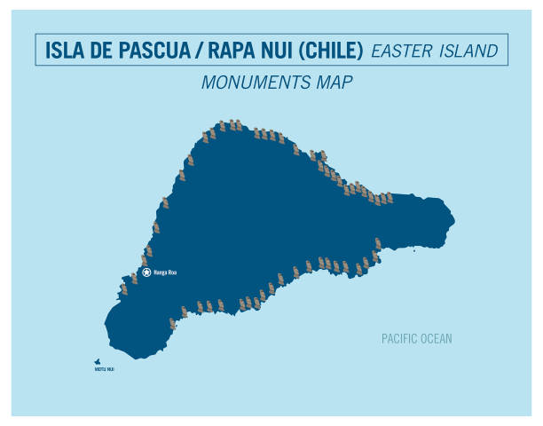
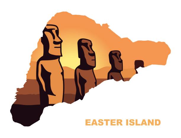
Eastern Island. Rapa Nui. Isla de Pascua. Chile. Detailed vector illustration.
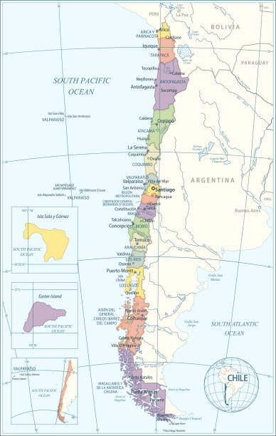
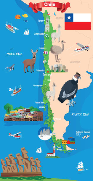
Map of Chile - Highly Detailed Vector illustration

Chile travel guide template. Set of Chilean landmarks, cuisine, traditions flat icons, pictograms on white. Sightseeing attractions and cultural symbol vector elements for tourist infographic, web.
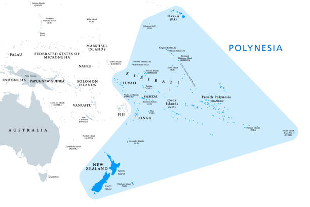
Polynesia, subregion of Oceania, political map. A region, made up of more than 1000 islands scattered over the central and southern Pacific Ocean. English. Illustration on white background. Vector.
Travel Landmark Icons - Thin Line Vector illustration

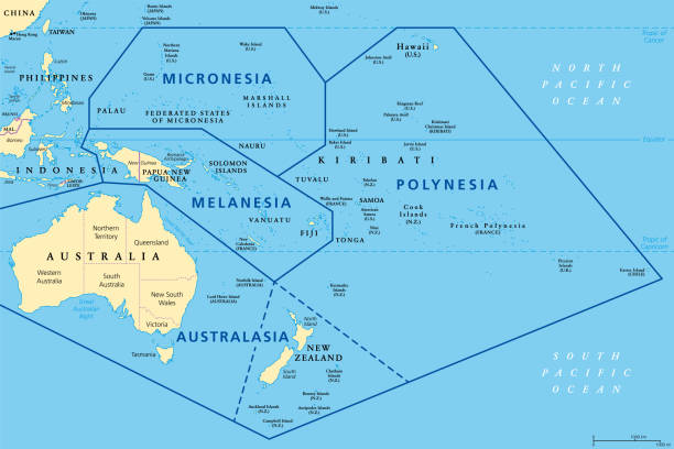
Subregions of Oceania, political map. Geoscheme with regions in the Pacific Ocean and next to Asia. Melanesia, Micronesia, Polynesia, and Australasia, short for Australia and New Zealand. Vector.
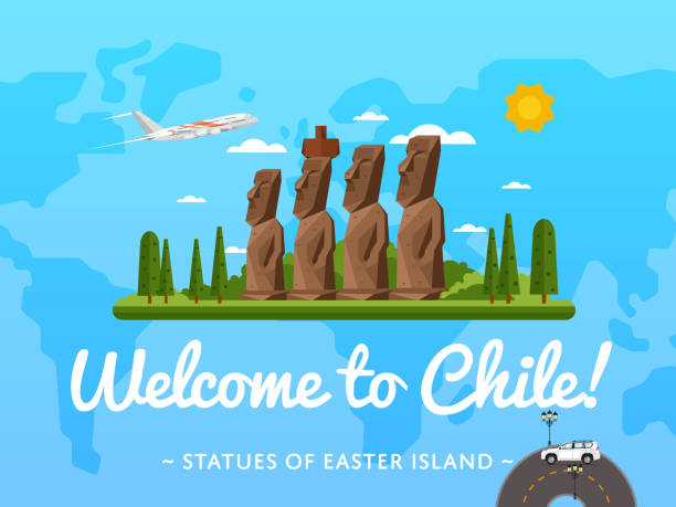
Welcome to Chile poster with famous attraction vector illustration. Travel design with Moai statues from Easter island. Worldwide air traveling, time to travel, discover new historical places
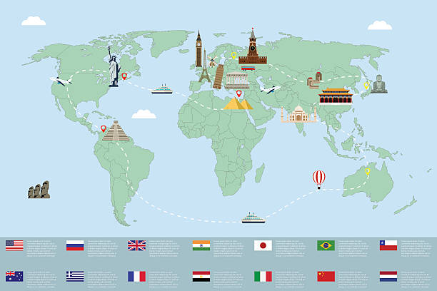
Vector illustration World Travel symbols


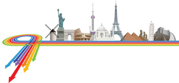
World Skyline - Famous Buildings and Monuments.. Travel Landmark Background. Vector Illustration
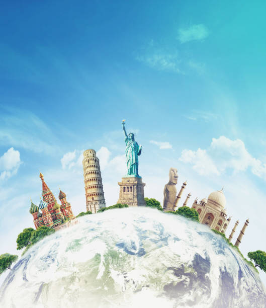
time to travel, world, famous

Gradient and transparent effect used.

File format is EPS10.0.
Travel Landmark Icons - Contour Black Solid Vector Illustration
Countries of the world, Islands in the ocean, logo, sign. Travel logo. Tour logo. Logotype handmade. Exotic summer holiday sign, icon. National and ethnic symbols of different countries. Cruise logo.
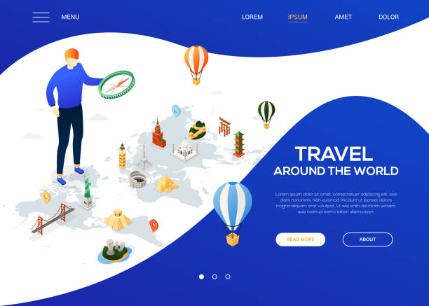
Travel around the world - colorful isometric web banner with copy space for text. Website header with a tourist with a compass, famous landmarks, Statue of Liberty, Torii, pyramids, Taj Mahal, Moai

Gradient and transparent effect used.

This image is a vector illustration and can be scaled to any size without loss of resolution.

time to travel, world, famous
Gradient and transparent effect used.
easter island vector map with flag


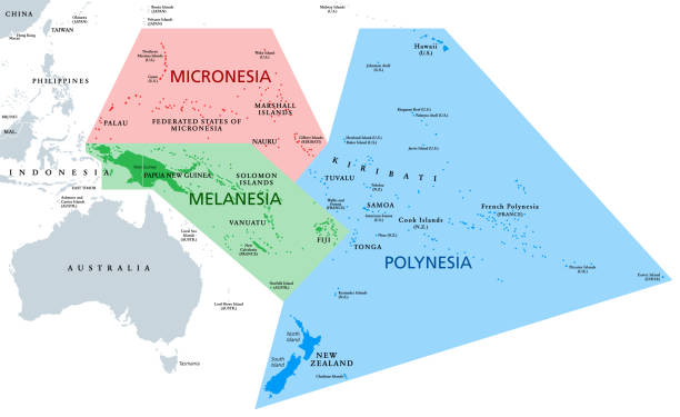
Melanesia, Micronesia and Polynesia, political map. Colored geographic regions of Oceania, southeast of the Asia-Pacific region. English labeling. Illustration on white background. Vector.

Time to travel cartoon banner, traveler with map plan to visit world landmarks ancient mayan and egyptian pyramids, moai statues on Easter island, Asian paddy plantation, Tourist vector illustration
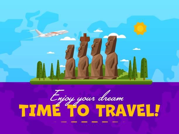
Welcome to Chile poster with famous attraction vector illustration. Travel design with Moai statues from Easter island. Worldwide air traveling, time to travel, discover new historical places

time to travel, world, famous


More travel vectors in my lightbox:
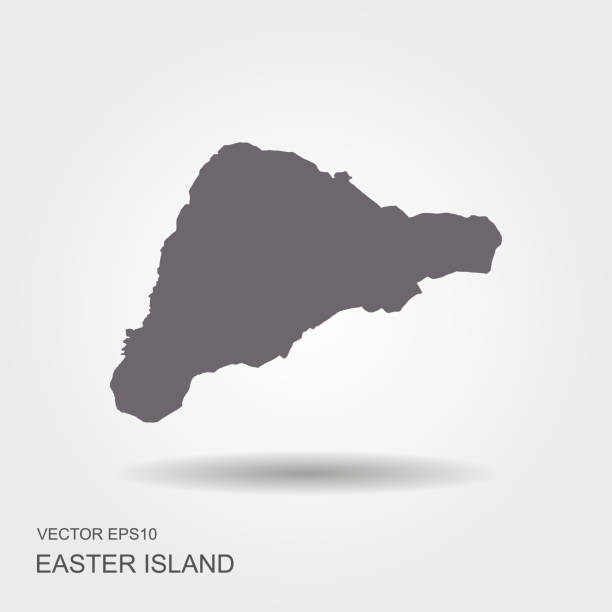
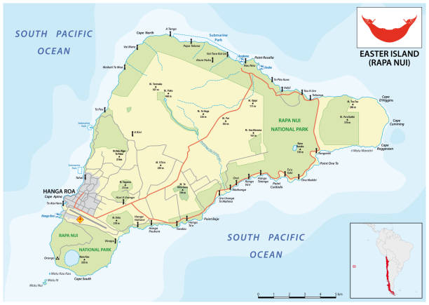
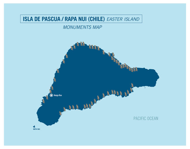
Easter Island or Rapa Nui political map with shadow

World famous landmarks - colorful isometric vector illustration. A big map with masterpieces of architecture. Sightseeing, traveling idea. Statue of Liberty, Torii, pyramids, Eiffel tower, Colosseum