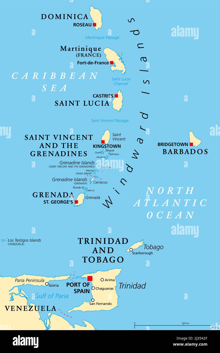
Windward Islands political map. Islands of the Lesser Antilles, south of the Leeward Islands in the Caribbean Sea. From Dominica to Grenada.
RFID:Image ID:2J3542F
Image details
Contributor:
Peter Hermes Furian / Alamy Stock PhotoImage ID:
2J3542FFile size:
154.5 MB (1.4 MB Compressed download)Releases:
Model - no | Property - noDo I need a release?Dimensions:
6000 x 9000 px | 50.8 x 76.2 cm | 20 x 30 inches | 300dpiDate taken:
5 April 2022Location:
Windward IslandsMore information:
Windward Islands political map. Islands of the Lesser Antilles, south of the Leeward Islands in the Caribbean Sea. From Dominica, Martinique, Saint Lucia, Saint Vincent and the Grenadines, to Grenada.